

Alas, Spring is upon us! The warmer days are approaching and we can’t help but think about all the outdoor adventures to be had in our beautiful backyard playground! And DAMN, does the Fraser Valley ever look when good when a little sun shines down on it! In our opinion, Spring hiking is just the best thing… With the weather being just right and the flowers blooming, it sure makes for a perfect time to satisfy those nature needs!
So get ready!!! We’re coming at ya with another Trail to Blaze… which means it’s time to dust off those hikin’ boots, shake out our plaids, pick up some OYB Beers & get exploring!

Here’s everything you need to know about the Harrison Grind Trail…
HIKING STATS
Difficulty: Hard
Time: 5-6 hours
Round-Trip: 11.4km
Elevation Gain: 850 meters
Season: March - November
Dog Friendly: Yes (on-leash)

GETTING THERE
First things first, stop by Old Yale Brewing to pick up your adventure beers, and NOW you’re ready to hit the road! Get your fav tunes bumping and begin making your way to Highway #1 the Trans Canada Highway. You’ll want to travel eastbound when you get onto the highway!
Take exit #135 BC-9 and head towards Agassiz/Harrison. Once you cross the bridge over the Fraser River, turn left towards Agassiz/Rosedale BC-9 which will take you into the town of Agassiz!
There are signs that will help guide you towards Harrison from here, so keep your eyes peeled! Take a left onto Cheam Avenue, a right onto Evergreen Drive, then veer left on BC-9. You’ll then reach a 3-way intersection, from here turn right and follow Hot Springs Road into the wonderful land of Harrison!
Keep driving until you reach Balsam Avenue. This is where the hike begins! You will find a wooden sign with all sorts of hiking routes directly across the street from Balsam Avenue! Parking is located in the gravel area. The trek begins on the left side of the metal fence, where there is a small opening.
Ready to get your sweat on??!
THE TRAIL
Steller workout warning! This hike will surely get your heartrate pumpin’!
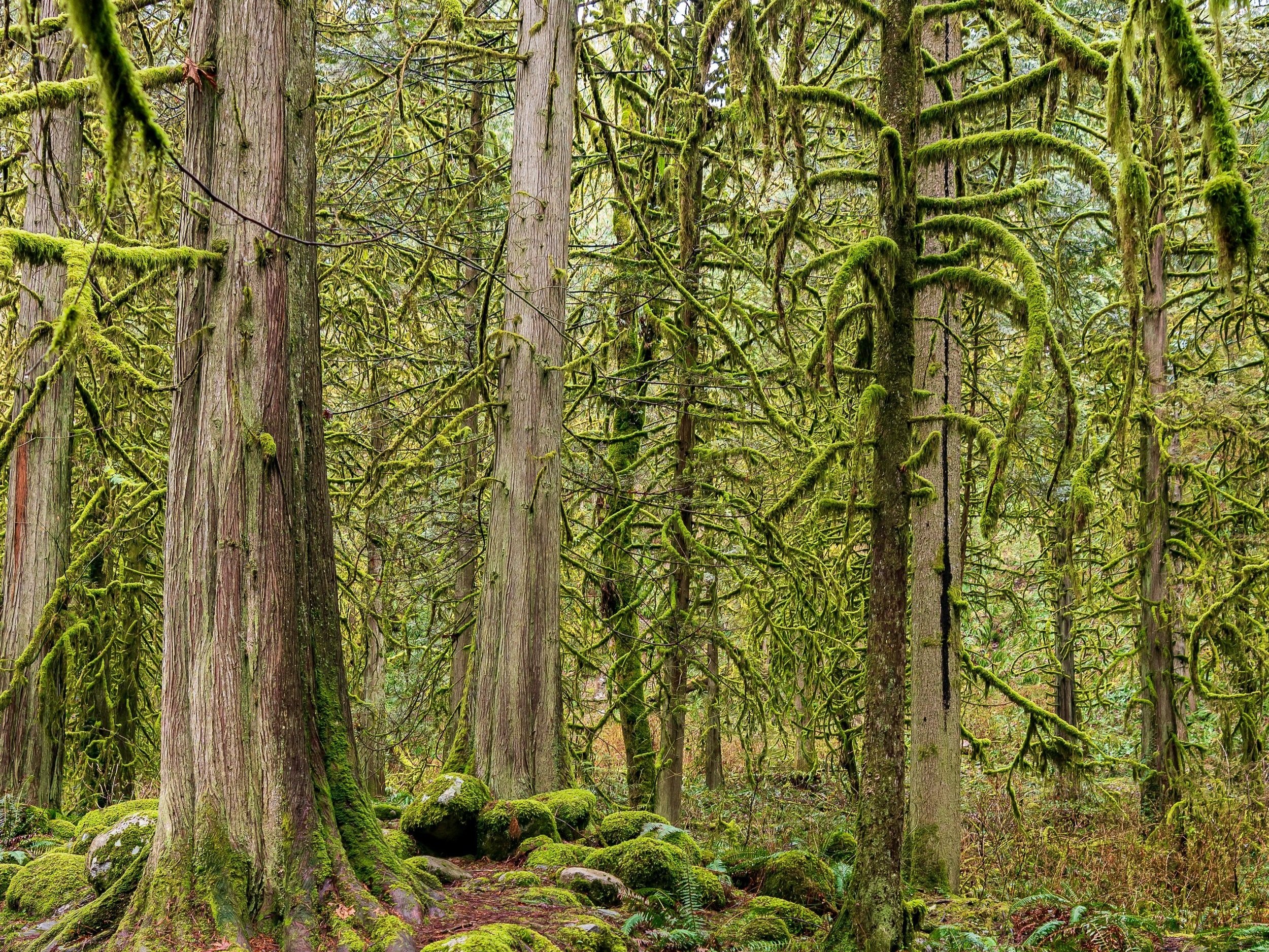
Once you pass through the fence opening, the gravel road veers right, followed by a left up the steep, steeeep hill. When you make it to the top of the hill you’ll see some large water tanks. Head towards the far side of the tanks and let it lead you into the lush forest!
The trail swerves to the right after about 15min or so and opens up beneath the power lines. Once you hit the power line tower, head left towards the forest. From here, the trail keep going up & up. It’s important to wear good hiking boots as this trail has sections of rocky and slippery terrain. This is a challenging hike that will definitely keeps things fun & interesting!! It’s not uncommon for there to be overgrowth, logs to climb over and creeks to walk through.
You’ll eventually find yourself at a cute little log bridge. Cross that and you’re almost there!!! Soon enough the trail will open up with a rocky section ahead, you know what that means?…

THE VIEW
YOU MADE IT! The viewpoint that overlooks Harrison Lake is finally in your sights! That view that takes your breath away just like that steep, steep… STEEEP jaunt up.
Sad it’s over??? Not ready to go just yet?? WELL, if you’re feeling extra adventurous you can always continue hiking the trail to reach Campbell Lake! It’s only another 40ish minutes and the trail is relatively flat!
CELEBRATION BEERS
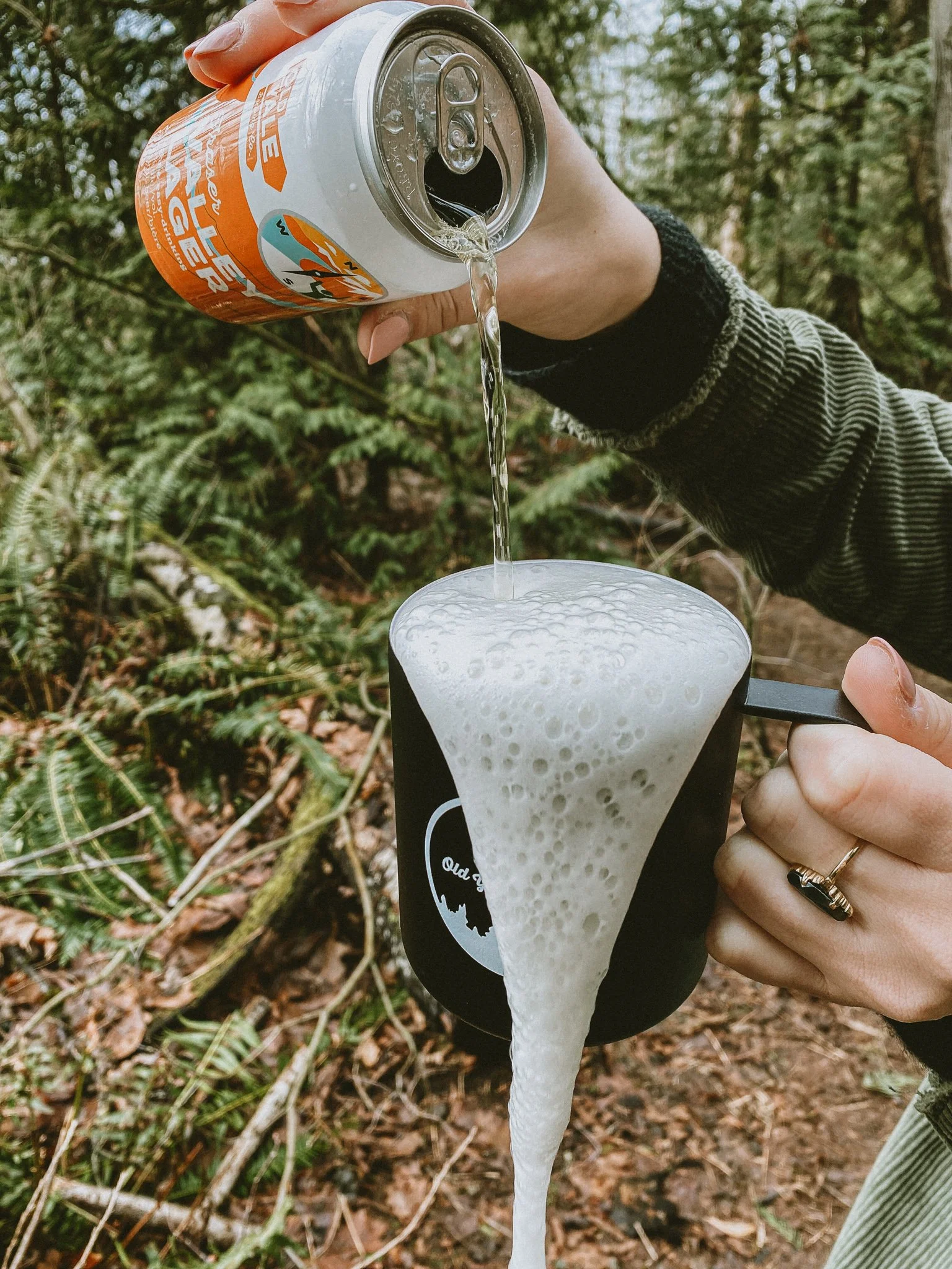
Most of us over here at Old Yale could agree that the best part about blazing new trails is that moment when you finally get to crack open a delicious (and well deserved) beer in nature! There is just something about a refreshing beer at the top of a mountain that hits the spot just right! Our smooth and easy-drinking Fraser Valley Lager fits the bill perfectly.
There you have it…
It’s time to blaze this trail, friends!!
Be sure to tag us (@oldyalebrewing or #oldyalebrewing) in your celebratory beer sippin’ photos at the peak! Because if you didn’t take a pic at the top… did the hike really even happen?